This area is in northern Orange County California, in the southwestern Coyote Hills. It is bordered by the cities of La Mirada, Buena Park, and Fullerton.
![]()
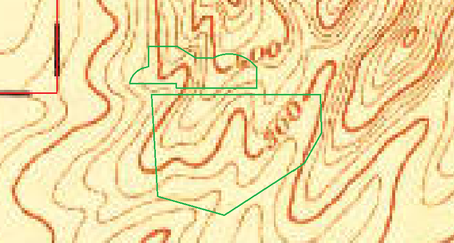
No photo, 1901 topo (1896 survey)
Most of the land is in Orange County, formed in 1889. The top left (northwest) corner is Los Angeles County. That corner is a major reference point. There are no details shown. The topography on the right disagrees with newer maps.
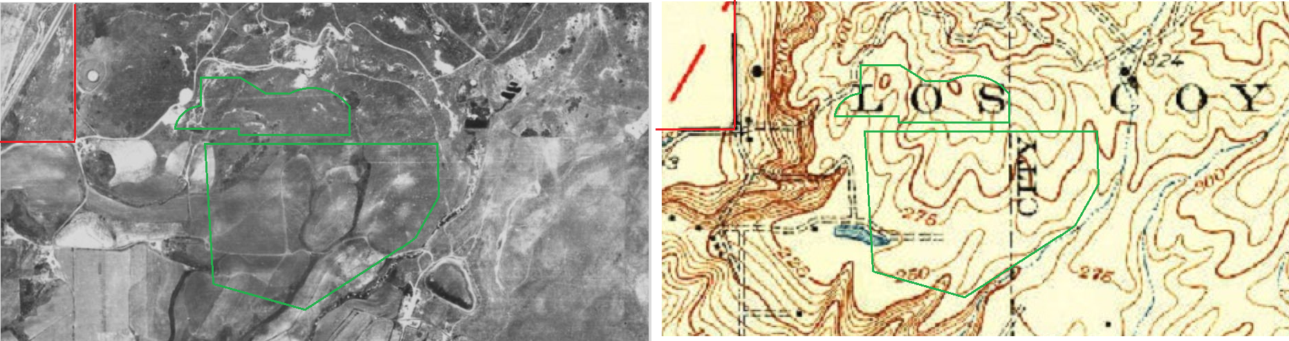
1938 photo, 1935 topo (1923 survey)
This land is mostly Emery Ranch. The headquarters are the black dot left (west) of the lake, in what is now the golf course.
1947 photo, No topo map
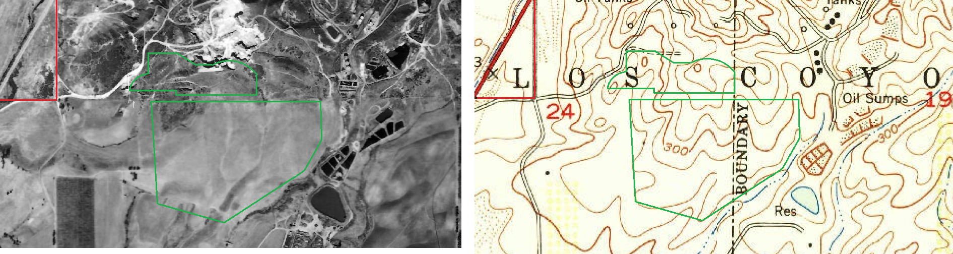
1952 photo, 1955 topo (1950 survey)